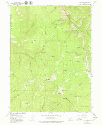
1967 Map of Twin Peaks
USGS Topo · Published 1979About this map
Strawberry Peak and the namesake Twin Peaks anchor this high-elevation terrain within the Uinta National Forest, where the boundary between Wasatch and Utah counties traverses the southern ridges. The landscape is defined by a dense network of drainages and springs, including the headwaters of Main Creek and the Left Fork Hobble Creek. A series of historical paths and utility routes, such as the Maple Jeep Trail, Telephone Jeep Tr, and the Indian Treaty Boundary, suggest a legacy of early mountain transit and territorial administration.
Find a feature on this map
50 named features on this map. Tap any name to fly to it.
Don’t see what you’re looking for? This feature index may not catch every label — zoom into the map to look around manually.
Map Details
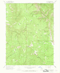
Editions of this 1967 Twin Peaks Map
2 editions found
Other maps of this area

1885 · Salt Lake
USGS Topo · 1:250,000

1907 · Strawberry Valley
USGS Topo · 1:125,000

1909 · Strawberry Valley
USGS Topo · 1:125,000

1954 · Salt Lake City
USGS Topo · 1:250,000

1958 · Salt Lake City
USGS Topo · 1:250,000

1960 · Salt Lake City
USGS Topo · 1:250,000

1966 · Strawberry Reservoir NW
USGS Topo · 1:24,000
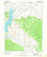
1966 · Charleston
USGS Topo · 1:24,000

1967 · Two Tom Hill
USGS Topo · 1:24,000
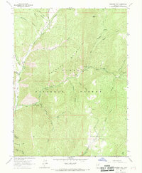
1967 · Granger Mtn
USGS Topo · 1:24,000