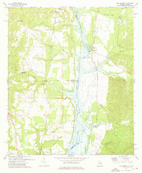
1973 Map of Twin Springs
USGS Topo · Published 1976About this map
The Chattahoochee River defines this landscape along the Alabama and Georgia border during the 1970s, as the river's waters fill the Walter F George Reservoir. This period reflects a shift toward recreation and conservation, evidenced by the Walter F George National Wildlife Refuge and facilities like the Florence Landing Recreation Area. The map provides a detailed look at the rural communities and family landmarks that predate the reservoir, such as the small settlement of Twin Springs and the McClendon Cem.
Find a feature on this map
39 named features on this map. Tap any name to fly to it.
Don’t see what you’re looking for? This feature index may not catch every label — zoom into the map to look around manually.
Map Details
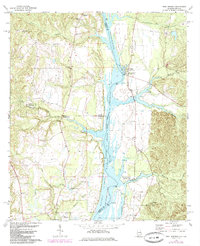
Editions of this 1973 Twin Springs Map
2 editions found
Other maps of this area

1949 · Julia
USGS Topo · 1:24,000

1950 · Lumpkin SW
USGS Topo · 1:24,000

1950 · Lumpkin
USGS Topo · 1:62,500

1953 · Dothan
USGS Topo · 1:250,000

1954 · Dothan
USGS Topo · 1:250,000

1955 · Dothan
USGS Topo · 1:250,000

1955 · Lumpkin SW
USGS Topo · 1:24,000
1955 · Union
USGS Topo · 1:24,000

1955 · Lumpkin
USGS Topo · 1:62,500

1955 · Phenix City
USGS Topo · 1:250,000