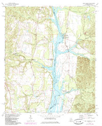
1973 Map of Twin Springs
USGS Topo · Published 1985About this map
The Chattahoochee River serves as the central artery of this 1970s landscape, marking the boundary between Alabama and Georgia as it flows through the Walter F George Reservoir. This period reflects the established impact of the reservoir on the local environment, with the Walter F George National Wildlife Refuge protecting the wetlands and inlets formed by the rising waters. Along the banks, recreational infrastructure such as the Florence Landing Recreation Area and Rood Creek Landing Recreation Area suggest the transition from a purely agrarian river valley to one shaped by federal water management and conservation efforts.
Find a feature on this map
35 named features on this map. Tap any name to fly to it.
Don’t see what you’re looking for? This feature index may not catch every label — zoom into the map to look around manually.
Map Details
Editions of this 1973 Twin Springs Map
2 editions found
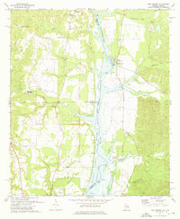
Other maps of this area

1949 · Julia
USGS Topo · 1:24,000

1950 · Lumpkin SW
USGS Topo · 1:24,000

1950 · Lumpkin
USGS Topo · 1:62,500

1953 · Dothan
USGS Topo · 1:250,000

1954 · Dothan
USGS Topo · 1:250,000

1955 · Dothan
USGS Topo · 1:250,000

1955 · Lumpkin SW
USGS Topo · 1:24,000
1955 · Union
USGS Topo · 1:24,000

1955 · Lumpkin
USGS Topo · 1:62,500

1955 · Phenix City
USGS Topo · 1:250,000