Loading...
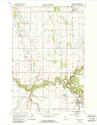
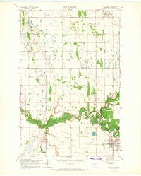
Loading map...1965 Map of Twin Valley
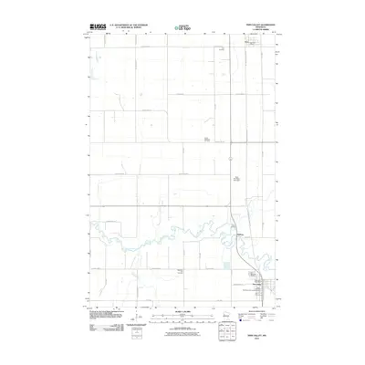
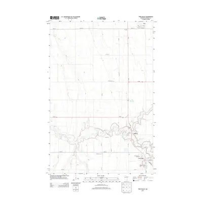
USGS Topo · Published 1988About this map
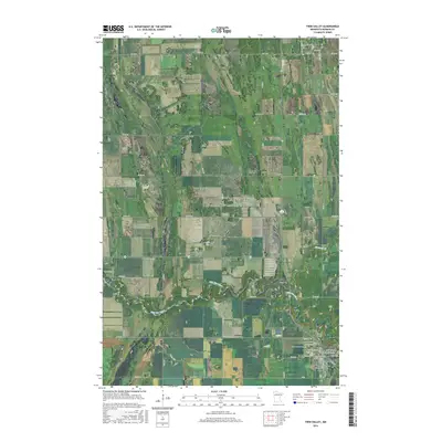
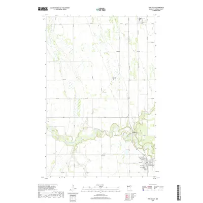
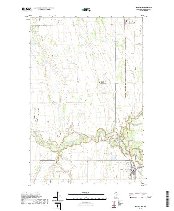
The Wild Rice River meanders across this Norman County landscape, its winding course defining the agricultural character of Green Meadow and Strand townships. This 1960s survey records the regional hubs of Twin Valley and Gary connected by the Northern Pacific Railroad Grade. The density of rural burial sites, including North Wild Rice Cem, Zion Cem, and West Wild Rice Cem, provides significant data for genealogists tracing Scandinavian or German settlement patterns in the Red River Valley hinterlands.
Find a feature on this map
21 named features on this map. Tap any name to fly to it.
Don’t see what you’re looking for? This feature index may not catch every label — zoom into the map to look around manually.
Map Details
Date Portrayed1965
Date Published1988
PublisherU.S. Geological Survey
Map TypeTopographic
Scale1:24,000
Physical Dimensions21.53 x 27.23 inches
Editions of this 1965 Twin Valley Map
2 editions found
Historical Maps of Twin Valley Through Time
7 maps found

Featured Locations
Source Details
SourceU.S. Geological Survey
CopyrightPublic Domain