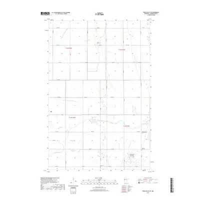
2019 Map of Twin Valley SW
USGS Topo · Published 2019About this map
Ada marks the northwestern edge of this agricultural region in Norman County, where the landscape is defined by the winding course of the Wild Rice River. The river's serpentine path through the center of the sheet is joined by the Marsh River, while various wetlands like Gilbertson Slough and Little Gilbertsons Slough reflect the low-lying prairie terrain. Human intervention in the hydrology is evident through large-scale drainage projects, including Judicial Ditch Number Fifty-one and State Ditch Number Sixty-eight.
Find a feature on this map
37 named features on this map. Tap any name to fly to it.
Don’t see what you’re looking for? This feature index may not catch every label — zoom into the map to look around manually.
Map Details
Editions of this 2019 Twin Valley SW Map
This is the sole edition of this map. No revisions or reprints were ever made.
Other maps of this area

1918 · Twin Valley
USGS Topo · 1:62,500

1918 · Ulen
USGS Topo · 1:62,500

1924 · Ada
USGS Topo · 1:62,500

1952 · Grand Forks
USGS Topo · 1:250,000

1956 · Grand Forks
USGS Topo · 1:250,000

1965 · Lockhart
USGS Topo · 1:24,000

1965 · Twin Valley SW
USGS Topo · 1:24,000

1965 · Twin Valley
USGS Topo · 1:24,000

1965 · Syre
USGS Topo · 1:24,000

1965 · Twin Valley NW
USGS Topo · 1:24,000