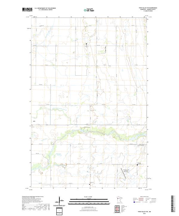
2022 Map of Twin Valley SW
USGS Topo · Published 2022About this map
The eastern edges of Ada anchor this landscape in Norman County, where the agricultural grid is defined by a complex network of water management. The terrain is marked by the winding courses of the Wild Rice River and Marsh River, which contrast with the straight lines of the Judicial Ditch Number Fifty-one and State Ditch Number Sixty-eight. These man-made channels reflect a long history of reclaiming the Red River Valley’s wetlands for cultivation. Local heritage is preserved in several small burial grounds scattered across the townships, including the Saint John's Cem and the Skandinavia Cem. Further south, the Norman County Poor Farm Cem stands as a somber reminder of early 20th-century social history. Aviation infrastructure is represented by the Norman County Ada/Twin Valley Airport, while natural drainage features like Gilbertsons Slough remain part of the hydrological character of the region.
Find a feature on this map
37 named features on this map. Tap any name to fly to it.
Don’t see what you’re looking for? This feature index may not catch every label — zoom into the map to look around manually.
Map Details
Editions of this 2022 Twin Valley SW Map
This is the sole edition of this map. No revisions or reprints were ever made.
Other maps of this area

1918 · Twin Valley
USGS Topo · 1:62,500

1918 · Ulen
USGS Topo · 1:62,500

1924 · Ada
USGS Topo · 1:62,500

1952 · Grand Forks
USGS Topo · 1:250,000

1956 · Grand Forks
USGS Topo · 1:250,000

1965 · Lockhart
USGS Topo · 1:24,000

1965 · Twin Valley SW
USGS Topo · 1:24,000

1965 · Twin Valley
USGS Topo · 1:24,000

1965 · Syre
USGS Topo · 1:24,000

1965 · Twin Valley NW
USGS Topo · 1:24,000