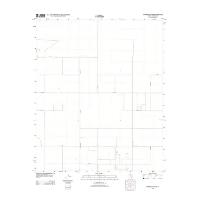
2012 Map of Two B Ranch SW
USGS Topo · Published 2012About this map
Sable Oil Field defines the industrial footprint of this portion of Yoakum County, reflecting the region's long-standing reliance on petroleum extraction. The landscape is organized by a rigid grid of ranch and access roads, including Red Graham Rd and Johnnie Layton Rd, which underscore the systematic division of the West Texas plains for mineral and agricultural use. While the terrain lacks significant water bodies or dense settlements, the presence of Carpenter Rd and various county routes like Co Rd-160 and Co Rd-175 indicates the infrastructure required to maintain operations across the high plains. This 2012 survey illustrates the intersection of family-named local thoroughfares and the large-scale energy production typical of the Permian Basin era.
Find a feature on this map
13 named features on this map. Tap any name to fly to it.
Don’t see what you’re looking for? This feature index may not catch every label — zoom into the map to look around manually.
Map Details
Editions of this 2012 Two B Ranch SW Map
This is the sole edition of this map. No revisions or reprints were ever made.
Other maps of this area

1954 · Brownfield
USGS Topo · 1:250,000

1958 · Brownfield
USGS Topo · 1:250,000

1962 · Brownfield
USGS Topo · 1:250,000
1970 · Prairieview NE
USGS Topo · 1:24,000
1970 · Bronco NE
USGS Topo · 1:24,000
1970 · Bronco
USGS Topo · 1:24,000
1971 · Plains NW
USGS Topo · 1:24,000
1971 · Schooler Ranch
USGS Topo · 1:24,000
1971 · Plains
USGS Topo · 1:24,000
1971 · Two B Ranch
USGS Topo · 1:24,000