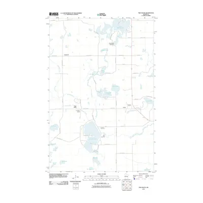
2010 Map of Two Inlets
USGS Topo · Published 2010About this map
Two Inlets and the surrounding Hubbard County landscape are defined by a complex mosaic of glacial lakes and small rural settlements. This 2010 survey reveals a community deeply tied to its water resources, with significant recreation sites like the Wilderness Bay Resort and RV Campground on Little Mantrap Lake and the Brookside Golf Course near Two Inlets Lake. The road network, including County Hwy-46 and County Hwy-127, connects isolated hamlets like Goldenrod and Arago. Local genealogy is anchored by sites such as Saint Mary's Catholic Cemetery and Evergreen Cemetery. The hydrography of the region is notably intricate, featuring distinct bodies of water like the Hungry Man Lakes, Dinner Lake, and Island Lake, all linked by wandering waterways including Indian Creek and Basswood Creek.
Find a feature on this map
63 named features on this map. Tap any name to fly to it.
Don’t see what you’re looking for? This feature index may not catch every label — zoom into the map to look around manually.
Map Details
Editions of this 2010 Two Inlets Map
This is the sole edition of this map. No revisions or reprints were ever made.
Other maps of this area

1953 · Brainerd
USGS Topo · 1:250,000

1954 · Bemidji
USGS Topo · 1:250,000

1957 · Brainerd
USGS Topo · 1:250,000

1957 · Bemidji
USGS Topo · 1:250,000

1958 · Bemidji
USGS Topo · 1:250,000

1958 · Brainerd
USGS Topo · 1:250,000

1965 · Brainerd
USGS Topo · 1:250,000

1969 · Park Rapids
USGS Topo · 1:24,000

1969 · Anchor Hill
USGS Topo · 1:24,000

1969 · Big Basswood Lake
USGS Topo · 1:24,000