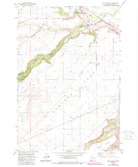
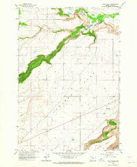
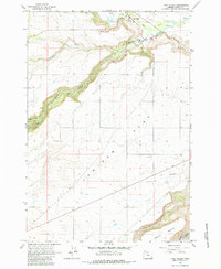
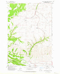
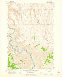
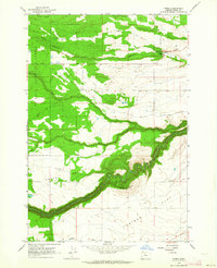
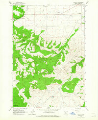
1962 Map of Tygh Valley
USGS Topo · Published 1987About this map
Tygh Valley sits at the northern edge of a distinctive plateau known as Juniper Flat, where the landscape is defined by the deep incisions of the White River and its various tributaries. This 1962 survey, updated in the late 1980s, reveals a rural economy centered on the Natural Pasture lands and the water resources of Tygh Creek and Wapinitia Creek. The mapping of fine red dashed lines to indicate selected fence lines suggests the importance of property boundaries and livestock management in this part of Wasco County.
Find a feature on this map
15 named features on this map. Tap any name to fly to it.
Don’t see what you’re looking for? This feature index may not catch every label — zoom into the map to look around manually.
Map Details
Editions of this 1962 Tygh Valley Map
3 editions found
Other maps of this area

1930 · Dufur
USGS Topo · 1:125,000

1934 · Dufur
USGS Topo · 1:125,000

1953 · The Dalles
USGS Topo · 1:250,000

1956 · The Dalles
USGS Topo · 1:250,000

1957 · The Dalles
USGS Topo · 1:250,000
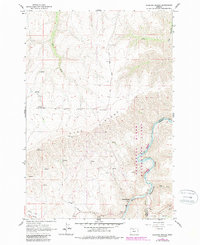
1962 · Sherars Bridge
USGS Topo · 1:24,000
1962 · Postage Stamp Butte
USGS Topo · 1:24,000
1962 · Dant
USGS Topo · 1:24,000
1962 · Wamic
USGS Topo · 1:24,000
1962 · Wapinitia
USGS Topo · 1:24,000