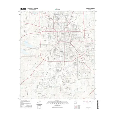
2016 Map of Tyler South
USGS Topo · Published 2016About this map
Tyler's southern landscape in 2016 is defined by its educational institutions and extensive cemetery grounds, reflecting its long-standing role as a regional hub for Smith County. The presence of Texas Coll and Tyler Jr Coll highlights the city's academic character, while several historic burial sites, including the Ahavath Achim Cem and Oakwood Cem, provide significant resources for genealogical research. The terrain is marked by various water bodies such as Bellwood Lake and the branching system of Black Fork Cr and W Mud Cr. This survey captures the complex suburban expansion south of the city center, where residential developments wrap around traditional landmarks like Rose Hill and the Saint Louis Cem.
Find a feature on this map
387 named features on this map. Tap any name to fly to it.
Don’t see what you’re looking for? This feature index may not catch every label — zoom into the map to look around manually.
Map Details
Editions of this 2016 Tyler South Map
This is the sole edition of this map. No revisions or reprints were ever made.
Other maps of this area

1937 · Troupe
USGS Topo · 1:48,000

1938 · Winona
USGS Topo · 1:48,000

1943 · Troup
USGS Topo · 1:62,500

1943 · Winona
USGS Topo · 1:62,500

1946 · Bullard
USGS Topo · 1:62,500

1948 · Bullard
USGS Topo · 1:62,500

1948 · Tyler
USGS Topo · 1:62,500

1949 · Tyler
USGS Topo · 1:62,500

1956 · Tyler
USGS Topo · 1:250,000

1966 · Chandler
USGS Topo · 1:24,000