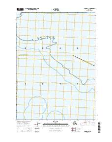
2016 Map of Tyonek A-1 SE
USGS Topo · Published 2016About this map
Chickaloon Bay and the northern reaches of the Pacific Ocean dominate this coastal survey at the mouth of Turnagain Arm. The mapping documents a vital boundary line where the Anchorage Municipality and Kenai Peninsula Borough intersect across the wetlands and tidal flats. This area represents a transition between the municipal sprawl of the north and the remote, protected environments of the Kenai. The absence of traditional roads or settlements reflects the primary role of the landscape as an ecological corridor and maritime waterway rather than a site for residential development. Researchers can observe the vast intertidal zones within the township sectors of t12n r5w and t12n r4w, illustrating the shifting shoreline of south-central Alaska.
Find a feature on this map
6 named features on this map. Tap any name to fly to it.
Don’t see what you’re looking for? This feature index may not catch every label — zoom into the map to look around manually.
Map Details
Editions of this 2016 Tyonek A-1 SE Map
This is the sole edition of this map. No revisions or reprints were ever made.
Other maps of this area

1944 · Kenai
USGS Topo · 1:250,000

1949 · Tyonek
USGS Topo · 1:250,000

1950 · Kenai
USGS Topo · 1:250,000

1951 · Seward
USGS Topo · 1:250,000

1951 · Anchorage
USGS Topo · 1:250,000

1951 · Tyonek
USGS Topo · 1:250,000

1951 · Kenai D-1
USGS Topo · 1:63,360

1951 · Seward D-8
USGS Topo · 1:63,360

1951 · Tyonek A-1
USGS Topo · 1:63,360

1952 · Tyonek A-1
USGS Topo · 1:63,360