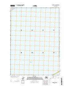
2013 Map of Tyonek A-2 NW
USGS Topo · Published 2013About this map
Pacific Ocean waters dominate the southern half of this coastal Alaskan landscape, where the administrative dividing line between the Matanuska-Susitna Borough and the Kenai Peninsula Borough meets the shoreline. The land area is defined by a systematic grid of the Public Land Survey System, specifically marking T 13 N and the transition between R 8 W and R 7 W. This survey provides a clear look at the jurisdictional boundaries and maritime position of this remote coastal area in the early 2010s, prior to significant further development. The map serves primarily as a record of the borough intersection and the coastal topography where the northern reaches of the ocean meet the mainland.
Find a feature on this map
40 named features on this map. Tap any name to fly to it.
Don’t see what you’re looking for? This feature index may not catch every label — zoom into the map to look around manually.
Map Details
Editions of this 2013 Tyonek A-2 NW Map
This is the sole edition of this map. No revisions or reprints were ever made.
Other maps of this area

1949 · Tyonek
USGS Topo · 1:250,000

1951 · Tyonek
USGS Topo · 1:250,000

1951 · Tyonek A-2
USGS Topo · 1:63,360

1952 · Tyonek A-2
USGS Topo · 1:63,360

1958 · Tyonek B-3
USGS Topo · 1:63,360
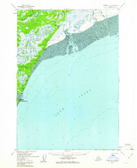
1958 · Tyonek A-3
USGS Topo · 1:63,360

1958 · Tyonek B-2
USGS Topo · 1:63,360

1958 · Tyonek
USGS Topo · 1:250,000

1965 · Tyonek
USGS Topo · 1:250,000
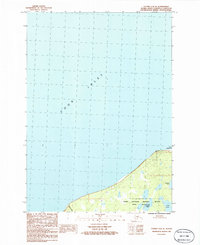
1986 · Tyonek A-2 SE
USGS Topo · 1:25,000