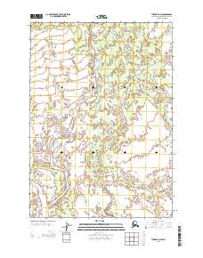
2013 Map of Tyonek A-5 SW
USGS Topo · Published 2013About this map
Chakachatna River winds through this expanse of the Kenai Peninsula, where a complex network of glacial meltwater and seasonal channels defines the landscape. The hydrography of the region is characterized by significant features like Middle River and the braided path of the McArthur River, which dominate the southern portion of the sheet. Further north, the Chuitkilnachna Cr and Nikolai Cr snake through low-lying areas, illustrating the intricate drainage patterns of this coastal region. The absence of roads or permanent structures on this U.S. Geological Survey sheet highlights the undeveloped nature of the terrain, where water features like the Noaukta Slough serve as the primary landmarks. This survey provides a precise record of these shifting waterways and the wetlands that lie between them, offering essential data for understanding the physical geography of this remote Alaskan district.
Find a feature on this map
6 named features on this map. Tap any name to fly to it.
Don’t see what you’re looking for? This feature index may not catch every label — zoom into the map to look around manually.
Map Details
Editions of this 2013 Tyonek A-5 SW Map
This is the sole edition of this map. No revisions or reprints were ever made.
Other maps of this area

1944 · Kenai
USGS Topo · 1:250,000

1949 · Tyonek
USGS Topo · 1:250,000

1950 · Kenai
USGS Topo · 1:250,000

1951 · Tyonek
USGS Topo · 1:250,000

1958 · Tyonek A-6
USGS Topo · 1:63,360

1958 · Tyonek A-5
USGS Topo · 1:63,360

1958 · Kenai D-5
USGS Topo · 1:63,360

1958 · Kenai D-6
USGS Topo · 1:63,360

1958 · Tyonek
USGS Topo · 1:250,000

1958 · Kenai
USGS Topo · 1:250,000