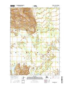
2016 Map of Tyonek A-6 SE
USGS Topo · Published 2016About this map
McArthur River and the Kustatan River dominate this coastal Alaskan landscape on the Kenai Peninsula. The map reveals the intricate delta systems and braided channels where these glacial waters converge, illustrating the shifting hydrography typical of the region. Most of the terrain is defined by low-lying wetlands and complex watercourses, with the public land survey system markers for t12n r16w and t11n r15w providing the primary navigational grid across the uninhabited territory. The lack of settlements or roads underscores the wilderness character of this area in the mid-2010s, where the natural drainage patterns of the river systems are the defining topographic elements.
Find a feature on this map
6 named features on this map. Tap any name to fly to it.
Don’t see what you’re looking for? This feature index may not catch every label — zoom into the map to look around manually.
Map Details
Editions of this 2016 Tyonek A-6 SE Map
This is the sole edition of this map. No revisions or reprints were ever made.
Other maps of this area

1944 · Kenai
USGS Topo · 1:250,000

1949 · Tyonek
USGS Topo · 1:250,000

1950 · Kenai
USGS Topo · 1:250,000

1951 · Tyonek
USGS Topo · 1:250,000

1958 · Tyonek A-6
USGS Topo · 1:63,360

1958 · Tyonek A-5
USGS Topo · 1:63,360

1958 · Kenai D-5
USGS Topo · 1:63,360

1958 · Kenai D-6
USGS Topo · 1:63,360

1958 · Tyonek
USGS Topo · 1:250,000

1958 · Kenai
USGS Topo · 1:250,000