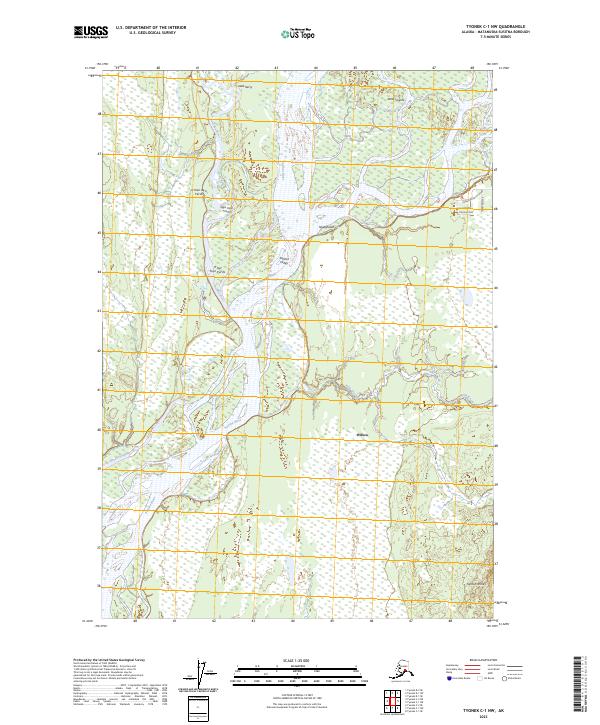
2023 Map of Tyonek C-1 NW
USGS Topo · Published 2023About this map
The Susitna River dominates this portion of the Susitna Valley, carving a complex network of channels and wetlands through the Matanuska-Susitna landscape. This 2023 survey records the intricate hydrology of the region, where the Deshka River joins the main stem near the Delta Islands. The presence of numerous Dena'ina place names, such as Sdak’dal’iy and Niqaghelelt, provides a deep cultural layer to the physical geography, anchoring the land's contemporary mapping in its long indigenous history.
Find a feature on this map
20 named features on this map. Tap any name to fly to it.
Don’t see what you’re looking for? This feature index may not catch every label — zoom into the map to look around manually.
Map Details
Editions of this 2023 Tyonek C-1 NW Map
This is the sole edition of this map. No revisions or reprints were ever made.
Other maps of this area

1949 · Tyonek
USGS Topo · 1:250,000

1951 · Tyonek
USGS Topo · 1:250,000

1952 · Tyonek D-1
USGS Topo · 1:63,360

1952 · Tyonek C-1
USGS Topo · 1:63,360

1954 · Tyonek D-2
USGS Topo · 1:63,360

1954 · Tyonek D-1
USGS Topo · 1:63,360

1958 · Tyonek C-2
USGS Topo · 1:63,360

1958 · Tyonek C-1
USGS Topo · 1:63,360

1958 · Tyonek
USGS Topo · 1:250,000

1965 · Tyonek
USGS Topo · 1:250,000