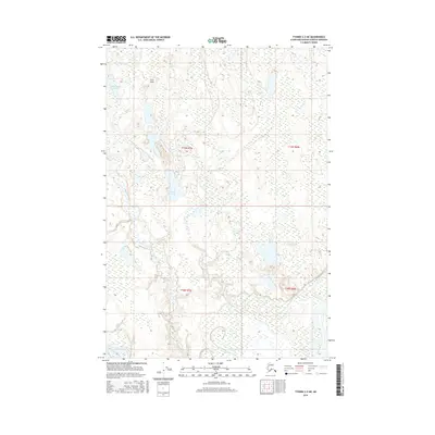
2016 Map of Tyonek C-2 NE
USGS Topo · Published 2016About this map
The confluence of the Susitna River and Yentna River defines this landscape in the Matanuska-Susitna region. This riverine environment is characterized by a complex network of wetlands and minor watercourses, including the meandering Kroto Slough and Fish Creek. Aviation remains a critical component of local transport and access, evidenced by the presence of the C.I.S. Airport located in the northwestern portion of the map. These waterways and small airfields represent the primary arteries of movement in a region where traditional road infrastructure is sparse. Named water bodies like Ladyslipper Lake and Witsoe Lake are scattered across the terrain, reflecting the post-glacial hydrology that shapes much of this Alaskan territory.
Find a feature on this map
11 named features on this map. Tap any name to fly to it.
Don’t see what you’re looking for? This feature index may not catch every label — zoom into the map to look around manually.
Map Details
Editions of this 2016 Tyonek C-2 NE Map
This is the sole edition of this map. No revisions or reprints were ever made.
Other maps of this area

1949 · Tyonek
USGS Topo · 1:250,000

1951 · Tyonek
USGS Topo · 1:250,000

1952 · Tyonek D-1
USGS Topo · 1:63,360

1952 · Tyonek C-1
USGS Topo · 1:63,360

1954 · Tyonek D-2
USGS Topo · 1:63,360

1954 · Tyonek D-1
USGS Topo · 1:63,360

1958 · Tyonek C-2
USGS Topo · 1:63,360

1958 · Tyonek C-1
USGS Topo · 1:63,360

1958 · Tyonek
USGS Topo · 1:250,000

1965 · Tyonek
USGS Topo · 1:250,000