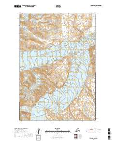
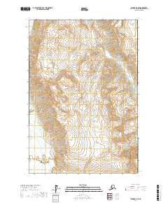
2017 Map of Tyonek C-6 NW
USGS Topo · Published 2017About this map
Tordrillo Mountains dominate this high-altitude Alaskan landscape, where the elevation reaches into the thousands of feet across the glacial terrain. The Trimble Glacier occupies the eastern portion of the sheet, illustrating the slow movement of ice through the mountain passes in the Matanuska-Susitna Borough. This 2017 study by the U.S. Geological Survey provides a precise vertical record of the ice and peaks through dense contouring. The map is primarily an exploration of the natural physical geography, showing no roads or human settlements, which highlights the isolation of this portion of the interior. It serves as a modern baseline for researchers monitoring changes in glacial extent and alpine topography in the Tordrillo range.
Find a feature on this map
6 named features on this map. Tap any name to fly to it.
Don’t see what you’re looking for? This feature index may not catch every label — zoom into the map to look around manually.
Map Details
Editions of this 2017 Tyonek C-6 NW Map
This is the sole edition of this map. No revisions or reprints were ever made.
Other maps of this area

1949 · Tyonek
USGS Topo · 1:250,000

1951 · Tyonek
USGS Topo · 1:250,000

1958 · Tyonek C-6
USGS Topo · 1:63,360

1958 · Tyonek D-6
USGS Topo · 1:63,360

1958 · Tyonek
USGS Topo · 1:250,000
1958 · Tyonek D-7
USGS Topo · 1:63,360
1958 · Tyonek C-7
USGS Topo · 1:63,360

1965 · Tyonek
USGS Topo · 1:250,000
2016 · Tyonek D-7 SE
USGS Topo · 1:25,000
2017 · Tyonek D-6 SE
USGS Topo · 1:25,000