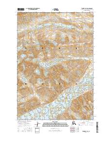
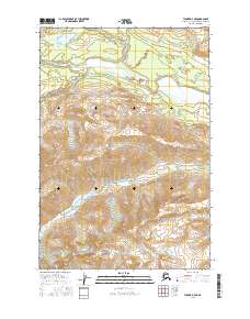
2016 Map of Tyonek D-7 SE
USGS Topo · Published 2016About this map
Hayes Glacier dominates the southern reaches of this landscape in the Matanuska-Susitna Borough, where glacial movement and high-altitude drainage patterns define the physical geography. The terrain is characterized by the descent from prominent ice fields into the valley of Spring Creek, which is also labeled as Spring Cr in its western sections. These water features are the primary markers in an otherwise unsettled expanse, illustrating the natural hydrological systems that feed into the larger Cook Inlet watershed. The absence of roads or man-made structures emphasize the wilderness character of the region, where the only administrative divisions are the township and range lines such as t20n r17w.
Find a feature on this map
10 named features on this map. Tap any name to fly to it.
Don’t see what you’re looking for? This feature index may not catch every label — zoom into the map to look around manually.
Map Details
Editions of this 2016 Tyonek D-7 SE Map
This is the sole edition of this map. No revisions or reprints were ever made.
Other maps of this area

1949 · Tyonek
USGS Topo · 1:250,000

1951 · Tyonek
USGS Topo · 1:250,000

1958 · Tyonek C-6
USGS Topo · 1:63,360

1958 · Tyonek D-6
USGS Topo · 1:63,360

1958 · Tyonek
USGS Topo · 1:250,000
1958 · Tyonek D-7
USGS Topo · 1:63,360
1958 · Tyonek C-7
USGS Topo · 1:63,360

1965 · Tyonek
USGS Topo · 1:250,000
2016 · Tyonek D-7 NW
USGS Topo · 1:25,000
2016 · Tyonek D-7 NE
USGS Topo · 1:25,000