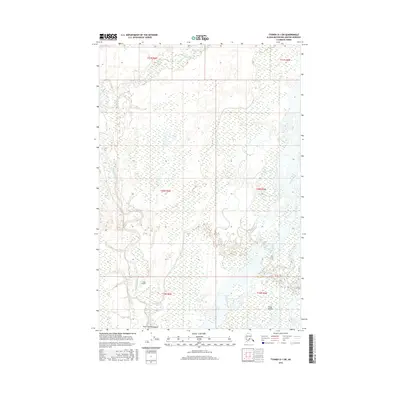
2016 Map of Tyonek D-1 SW
USGS Topo · Published 2016About this map
The Deshka River and the Susitna River dominate this portion of the Matanuska-Susitna Borough, where a complex network of wetlands and braided waterways defines the landscape. The confluence area is marked by the shifting landforms of the Delta Islands and the northern reach of Tayin Uq'e Tiyitalyashi. This territory, largely characterized by its watery expanse, remains mostly undeveloped except for the presence of Laub Airport, which serves as a critical access point for this remote region. Smaller tributaries like Trapper Creek feed into the larger river systems, illustrating the intricate drainage patterns that have historically shaped transport and survival in this part of Alaska.
Find a feature on this map
12 named features on this map. Tap any name to fly to it.
Don’t see what you’re looking for? This feature index may not catch every label — zoom into the map to look around manually.
Map Details
Editions of this 2016 Tyonek D-1 SW Map
This is the sole edition of this map. No revisions or reprints were ever made.
Other maps of this area

1949 · Tyonek
USGS Topo · 1:250,000

1951 · Tyonek
USGS Topo · 1:250,000

1952 · Tyonek D-1
USGS Topo · 1:63,360

1952 · Tyonek C-1
USGS Topo · 1:63,360

1954 · Tyonek D-2
USGS Topo · 1:63,360

1954 · Tyonek D-1
USGS Topo · 1:63,360

1958 · Tyonek C-2
USGS Topo · 1:63,360

1958 · Tyonek C-1
USGS Topo · 1:63,360

1958 · Tyonek
USGS Topo · 1:250,000

1965 · Tyonek
USGS Topo · 1:250,000