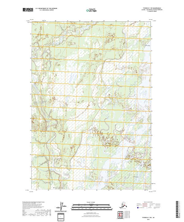
2023 Map of Tyonek D-1 SW
USGS Topo · Published 2023About this map
The Susitna Valley landscape is defined by the massive, braided channels of the Susitna River, which dominates the eastern edge of this terrain. To the west, the Deshka River meanders through a labyrinth of wetlands and low-lying ground, eventually converging toward the larger river system near the southern boundary. This map captures a quintessential Alaskan riverine environment where the land is constantly reshaped by water, evidenced by the intricate Delta Islands and the seasonal flow of Trapper Creek in the north. Settlement is sparse in this portion of the Matanuska-Susitna Borough, with Laub Airport serving as a primary point of access for the remote interior. The inclusion of the Dena'ina name Tay in Uq'e Tyitolyashi underscores the deep indigenous geography that persists alongside modern aviation and surveying.
Find a feature on this map
13 named features on this map. Tap any name to fly to it.
Don’t see what you’re looking for? This feature index may not catch every label — zoom into the map to look around manually.
Map Details
Editions of this 2023 Tyonek D-1 SW Map
This is the sole edition of this map. No revisions or reprints were ever made.
Other maps of this area

1949 · Tyonek
USGS Topo · 1:250,000

1951 · Tyonek
USGS Topo · 1:250,000

1952 · Tyonek D-1
USGS Topo · 1:63,360

1952 · Tyonek C-1
USGS Topo · 1:63,360

1954 · Tyonek D-2
USGS Topo · 1:63,360

1954 · Tyonek D-1
USGS Topo · 1:63,360

1958 · Tyonek C-2
USGS Topo · 1:63,360

1958 · Tyonek C-1
USGS Topo · 1:63,360

1958 · Tyonek
USGS Topo · 1:250,000

1965 · Tyonek
USGS Topo · 1:250,000