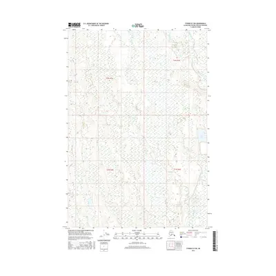
2016 Map of Tyonek D-2 NE
USGS Topo · Published 2016About this map
Deshka River meanders through this portion of the Matanuska-Susitna Borough, defining a low-lying landscape dominated by complex wetland networks and boreal waterways. The map illustrates a remote Alaskan wilderness where the river is joined by Chijuk Creek and Moose Creek, creating a riparian corridor essential for local navigation and subsistence. Toward the eastern edge, Neil Lake sits as a prominent landmark amidst the muskeg and forest. This 2016 survey reflects the enduring character of the Susitna Valley, documenting the precise township boundaries of T22N R7W and T21N R6W. The absence of road infrastructure highlights the area's reliance on river systems and seasonal trails, providing a high-resolution look at the drainage patterns and terrain prior to any modern development in this specific quadrangle.
Find a feature on this map
8 named features on this map. Tap any name to fly to it.
Don’t see what you’re looking for? This feature index may not catch every label — zoom into the map to look around manually.
Map Details
Editions of this 2016 Tyonek D-2 NE Map
This is the sole edition of this map. No revisions or reprints were ever made.
Other maps of this area

1949 · Tyonek
USGS Topo · 1:250,000

1950 · Talkeetna
USGS Topo · 1:250,000

1951 · Talkeetna
USGS Topo · 1:250,000

1951 · Tyonek
USGS Topo · 1:250,000

1952 · Tyonek D-1
USGS Topo · 1:63,360

1952 · Talkeetna A-1
USGS Topo · 1:63,360

1954 · Tyonek D-2
USGS Topo · 1:63,360

1954 · Tyonek D-1
USGS Topo · 1:63,360

1954 · Talkeetna A-2
USGS Topo · 1:63,360
1958 · Talkeetna A-1
USGS Topo · 1:63,360