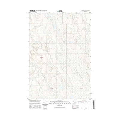
2016 Map of Tyonek D-2 SE
USGS Topo · Published 2016About this map
The Deshka River meanders through the northeastern corner of this territory within the Matanuska-Susitna Borough, defining a low-lying landscape dominated by complex wetlands and small kettle lakes. This 2016 survey documents a remote section of the Susitna Valley where the terrain is shaped by glacial legacy, showing a dense network of marshes and water bodies interspersed with subtle elevation changes. The land is organized by the Public Land Survey System, spanning portions of Townships 19 through 21 North and Ranges 6 and 7 West. The absence of established roads or permanent settlements across the majority of this quadrangle emphasizes its character as an undeveloped wilderness area, valued primarily for its natural hydrology and the drainage patterns feeding into the larger Susitna River basin.
Find a feature on this map
7 named features on this map. Tap any name to fly to it.
Don’t see what you’re looking for? This feature index may not catch every label — zoom into the map to look around manually.
Map Details
Editions of this 2016 Tyonek D-2 SE Map
This is the sole edition of this map. No revisions or reprints were ever made.
Other maps of this area

1949 · Tyonek
USGS Topo · 1:250,000

1951 · Tyonek
USGS Topo · 1:250,000

1952 · Tyonek D-1
USGS Topo · 1:63,360

1952 · Tyonek C-1
USGS Topo · 1:63,360

1954 · Tyonek D-2
USGS Topo · 1:63,360

1954 · Tyonek D-1
USGS Topo · 1:63,360

1958 · Tyonek C-2
USGS Topo · 1:63,360

1958 · Tyonek C-1
USGS Topo · 1:63,360

1958 · Tyonek
USGS Topo · 1:250,000

1965 · Tyonek
USGS Topo · 1:250,000