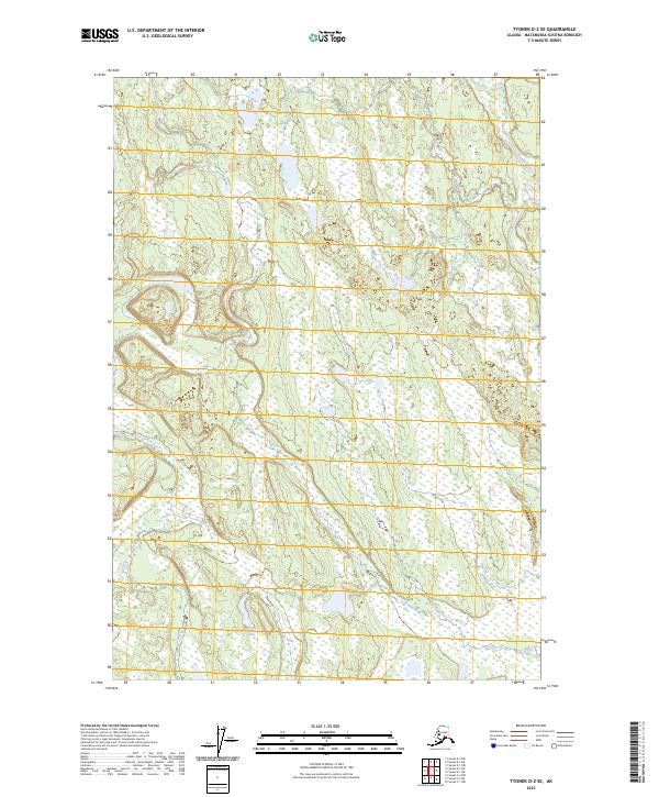
2023 Map of Tyonek D-2 SE
USGS Topo · Published 2023About this map
Deshka River winds through the northeast corner of this map, defining a vast landscape of low-lying wetlands and intricate drainage patterns in the Matanuska-Susitna region. The terrain is characterized by an extensive network of marshes and small water bodies typical of this Alaskan interior, with Fish Creek meandering across the western sections. To the south, Beejay Lake sits within a complex of smaller unlabelled ponds and streams. This survey illustrates the undeveloped state of the area, where the Public Land Survey System grids such as t20n r7w and t21n r6w provide the primary structural reference for a territory dominated by seasonal hydrography and shifting glacial soils.
Find a feature on this map
9 named features on this map. Tap any name to fly to it.
Don’t see what you’re looking for? This feature index may not catch every label — zoom into the map to look around manually.
Map Details
Editions of this 2023 Tyonek D-2 SE Map
This is the sole edition of this map. No revisions or reprints were ever made.
Other maps of this area

1949 · Tyonek
USGS Topo · 1:250,000

1951 · Tyonek
USGS Topo · 1:250,000

1952 · Tyonek D-1
USGS Topo · 1:63,360

1952 · Tyonek C-1
USGS Topo · 1:63,360

1954 · Tyonek D-2
USGS Topo · 1:63,360

1954 · Tyonek D-1
USGS Topo · 1:63,360

1958 · Tyonek C-2
USGS Topo · 1:63,360

1958 · Tyonek C-1
USGS Topo · 1:63,360

1958 · Tyonek
USGS Topo · 1:250,000

1965 · Tyonek
USGS Topo · 1:250,000