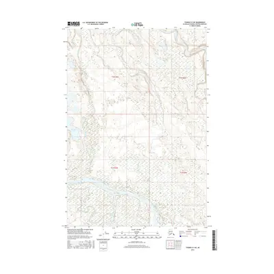
2016 Map of Tyonek D-3 NE
USGS Topo · Published 2016About this map
The confluence of major glacial-fed waterways dominates this portion of the Matanuska-Susitna Borough. The Skwentna River joins the larger Yentna River in a complex of braided channels and shifting gravel bars, illustrating the dynamic hydrology of South Central Alaska. This area is characterized by low-lying wetlands and numerous small ponds, with Bulchitna Lake serving as a prominent landmark amidst the intricate network of tributaries. Further north, the Kahiltna River and Lake Creek flow through the landscape, while Twentymile Slough and Indian Cr mark the intricate water patterns that have long dictated movement and seasonal travel through this roadless interior region.
Find a feature on this map
11 named features on this map. Tap any name to fly to it.
Don’t see what you’re looking for? This feature index may not catch every label — zoom into the map to look around manually.
Map Details
Editions of this 2016 Tyonek D-3 NE Map
This is the sole edition of this map. No revisions or reprints were ever made.
Other maps of this area

1949 · Tyonek
USGS Topo · 1:250,000

1950 · Talkeetna
USGS Topo · 1:250,000

1951 · Talkeetna
USGS Topo · 1:250,000

1951 · Tyonek
USGS Topo · 1:250,000

1954 · Tyonek D-2
USGS Topo · 1:63,360

1954 · Tyonek D-3
USGS Topo · 1:63,360

1954 · Talkeetna A-2
USGS Topo · 1:63,360

1958 · Tyonek
USGS Topo · 1:250,000

1958 · Talkeetna
USGS Topo · 1:250,000

1965 · Tyonek
USGS Topo · 1:250,000