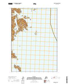
2019 Map of Ugashik A-2 SE
USGS Topo · Published 2019About this map
Agripina Bay and the surrounding coastline of the Pacific Ocean define this maritime landscape along the Alaska Peninsula. The topography is dominated by a series of significant offshore features including the large landmass of Poltava Island and the smaller, distinct shapes of Ashiiak Island and David Island. The waters are further punctuated by Lone Rock, suggesting a challenging coastal environment for navigation. Inland, the terrain rises sharply from the shore, characterized by the steep relief typical of this region. This 2019 survey also delineates the jurisdictional boundary between the Kodiak Island Borough and Lake and Peninsula Borough, which runs north-to-south through the eastern portion of the quadrangle.
Find a feature on this map
12 named features on this map. Tap any name to fly to it.
Don’t see what you’re looking for? This feature index may not catch every label — zoom into the map to look around manually.
Map Details
Editions of this 2019 Ugashik A-2 SE Map
This is the sole edition of this map. No revisions or reprints were ever made.
Other maps of this area

1943 · Ugashik
USGS Topo · 1:250,000

1948 · Ugashik
USGS Topo · 1:250,000

1949 · Ugashik
USGS Topo · 1:250,000

1951 · Sutwik Island
USGS Topo · 1:250,000

1951 · Ugashik A-2
USGS Topo · 1:63,360

1963 · Sutwik Island
USGS Topo · 1:250,000

1963 · Ugashik
USGS Topo · 1:250,000
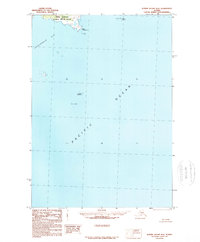
1989 · Sutwik Island D-2
USGS Topo · 1:63,360
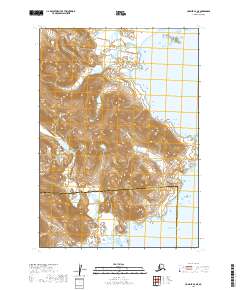
2019 · Ugashik A-2 NE
USGS Topo · 1:25,000
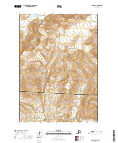
2019 · Ugashik A-2 NW
USGS Topo · 1:25,000