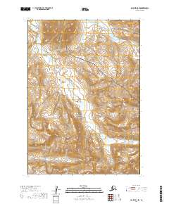
2019 Map of Ugashik A-5 SW
USGS Topo · Published 2019About this map
Aniakchak National Preserve dominates this section of the Alaska Peninsula, showcasing a complex drainage network essential to the region's volcanic hydrology. The 2019 survey delineates several prominent waterways, most notably Pumice Cr, which winds through the central and western sections, reflecting the volcanic debris common to this landscape. Further east, Old Cr flows through the township of T35S R51W, while Ray Cr marks the southern reaches of the quadrangle. These water bodies and the lack of established roads emphasize the primitive state of the land within the preserve boundaries, where topographic contours reveal the sharp elevation changes of the Aleutian Range. The map provides a clear look at the Public Land Survey System grids, including t36s r52w and t37s r52w, which are vital for researchers tracking land management and natural boundaries in this remote corner of the Lake and Peninsula Borough.
Find a feature on this map
10 named features on this map. Tap any name to fly to it.
Don’t see what you’re looking for? This feature index may not catch every label — zoom into the map to look around manually.
Map Details
Editions of this 2019 Ugashik A-5 SW Map
This is the sole edition of this map. No revisions or reprints were ever made.
Other maps of this area

1943 · Ugashik
USGS Topo · 1:250,000

1948 · Ugashik
USGS Topo · 1:250,000

1949 · Ugashik
USGS Topo · 1:250,000

1951 · Sutwik Island
USGS Topo · 1:250,000

1963 · Ugashik A-6
USGS Topo · 1:63,360

1963 · Sutwik Island
USGS Topo · 1:250,000
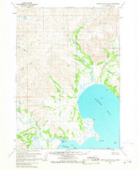
1963 · Sutwik Island D-5
USGS Topo · 1:63,360
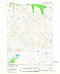
1963 · Sutwik Island D-6
USGS Topo · 1:63,360
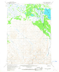
1963 · Ugashik A-5
USGS Topo · 1:63,360

1963 · Ugashik
USGS Topo · 1:250,000