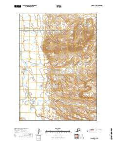
2019 Map of Ugashik A-6 SE
USGS Topo · Published 2019About this map
Aniakchak National Preserve dominates the central and eastern portions of this Alaskan landscape, characterized by the dramatic elevation changes of the Aleutian Range. The terrain is defined by the hydrologic network of the Cinder River, which meanders through the western lowlands, fed by tributaries such as Ray Cr and Meloy Cr. This 2019 survey illustrates the complex drainage patterns and braided stream systems common in this volcanic region, where glacial runoff and seasonal melt carve paths through the volcanic ash and tundra. The lack of roads or established settlements on this sheet reflects the wilderness status of the Alaska Peninsula, preserving a pristine view of the geological and water features that define the Lake and Peninsula Borough.
Find a feature on this map
10 named features on this map. Tap any name to fly to it.
Don’t see what you’re looking for? This feature index may not catch every label — zoom into the map to look around manually.
Map Details
Editions of this 2019 Ugashik A-6 SE Map
This is the sole edition of this map. No revisions or reprints were ever made.
Other maps of this area

1943 · Ugashik
USGS Topo · 1:250,000

1948 · Ugashik
USGS Topo · 1:250,000

1949 · Ugashik
USGS Topo · 1:250,000

1951 · Sutwik Island
USGS Topo · 1:250,000

1963 · Ugashik A-6
USGS Topo · 1:63,360

1963 · Sutwik Island
USGS Topo · 1:250,000
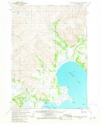
1963 · Sutwik Island D-5
USGS Topo · 1:63,360
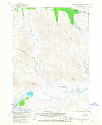
1963 · Sutwik Island D-6
USGS Topo · 1:63,360
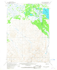
1963 · Ugashik A-5
USGS Topo · 1:63,360

1963 · Ugashik
USGS Topo · 1:250,000