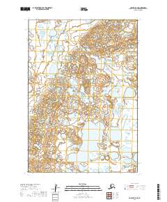
2019 Map of Ugashik C-5 NE
USGS Topo · Published 2019About this map
Pike Lake centers this portion of the Alaska Peninsula, serving as the dominant hydrological feature within a landscape defined by intricate wetland systems and small, unnamed water bodies. This area, located within the Lake and Peninsula Borough, is characterized by its post-glacial topography, where the land is carved into a dense network of ponds and marshes. The Public Land Survey System grid, including boundaries for t28s r50w and t29s r50w, reveals the systematic division of this remote territory. While the terrain lacks established roads or settlements, the presence of large water bodies like Pike Lake suggests the importance of water-based travel and subsistence patterns in this subarctic environment.
Find a feature on this map
6 named features on this map. Tap any name to fly to it.
Don’t see what you’re looking for? This feature index may not catch every label — zoom into the map to look around manually.
Map Details
Editions of this 2019 Ugashik C-5 NE Map
This is the sole edition of this map. No revisions or reprints were ever made.
Other maps of this area

1943 · Ugashik
USGS Topo · 1:250,000

1948 · Ugashik
USGS Topo · 1:250,000

1949 · Ugashik
USGS Topo · 1:250,000

1951 · Ugashik C-5
USGS Topo · 1:63,360

1951 · Ugashik C-4
USGS Topo · 1:63,360

1951 · Ugashik D-5 and D-6
USGS Topo · 1:63,360

1951 · Ugashik D-4
USGS Topo · 1:63,360

1963 · Ugashik
USGS Topo · 1:250,000
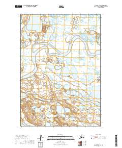
2019 · Ugashik C-4 SW
USGS Topo · 1:25,000
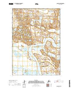
2019 · Ugashik C-5 SE
USGS Topo · 1:25,000