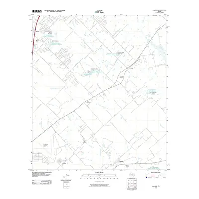
2010 Map of Uhland
USGS Topo · Published 2010About this map
Kyle anchors the northwestern corner of this Central Texas landscape, where the prairie begins to meet the increasingly developed corridor along the Balcones Escarpment. The terrain is defined by the branching waterways of Plum Creek and the Clear Fork Plum Creek, which are managed by an extensive network of infrastructure including the Soil Conservation Service Site 7 Reservoir and several other numbered sites designed for flood control and water management.
Find a feature on this map
64 named features on this map. Tap any name to fly to it.
Don’t see what you’re looking for? This feature index may not catch every label — zoom into the map to look around manually.
Map Details
Editions of this 2010 Uhland Map
This is the sole edition of this map. No revisions or reprints were ever made.
Other maps of this area

1896 · Austin
USGS Topo · 1:125,000

1897 · Austin
USGS Topo · 1:125,000

1910 · Austin
USGS Topo · 1:125,000

1911 · San Marcos
USGS Topo · 1:125,000

1919 · San Marcos
USGS Topo · 1:125,000

1930 · Lockhart
USGS Topo · 1:62,500

1953 · Seguin
USGS Topo · 1:250,000

1954 · Austin
USGS Topo · 1:250,000

1955 · Montopolis
USGS Topo · 1:62,500

1958 · Seguin
USGS Topo · 1:250,000