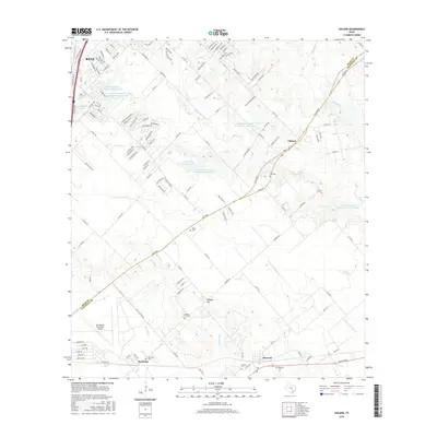
2016 Map of Uhland
USGS Topo · Published 2016About this map
Kyle and Uhland anchor this central Texas landscape, where the prairie of the Balcones Escarpment transition meets a series of managed water systems. The map details an extensive network of flood control structures, including the Soil Conservation Service Site 7 Reservoir and several other numbered sites along Plum Cr and its tributaries. These reservoirs and the M D Heatly Reservoir illustrate the mid-century to modern-era hydraulic management required to support the region's agricultural and residential expansion between Reedville and Maxwell.
Find a feature on this map
139 named features on this map. Tap any name to fly to it.
Don’t see what you’re looking for? This feature index may not catch every label — zoom into the map to look around manually.
Map Details
Editions of this 2016 Uhland Map
This is the sole edition of this map. No revisions or reprints were ever made.
Other maps of this area

1896 · Austin
USGS Topo · 1:125,000

1897 · Austin
USGS Topo · 1:125,000

1910 · Austin
USGS Topo · 1:125,000

1911 · San Marcos
USGS Topo · 1:125,000

1919 · San Marcos
USGS Topo · 1:125,000

1930 · Lockhart
USGS Topo · 1:62,500

1953 · Seguin
USGS Topo · 1:250,000

1954 · Austin
USGS Topo · 1:250,000

1955 · Montopolis
USGS Topo · 1:62,500

1958 · Seguin
USGS Topo · 1:250,000