2022 Map of Uhland
USGS Topo · Published 2022About this map
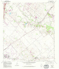
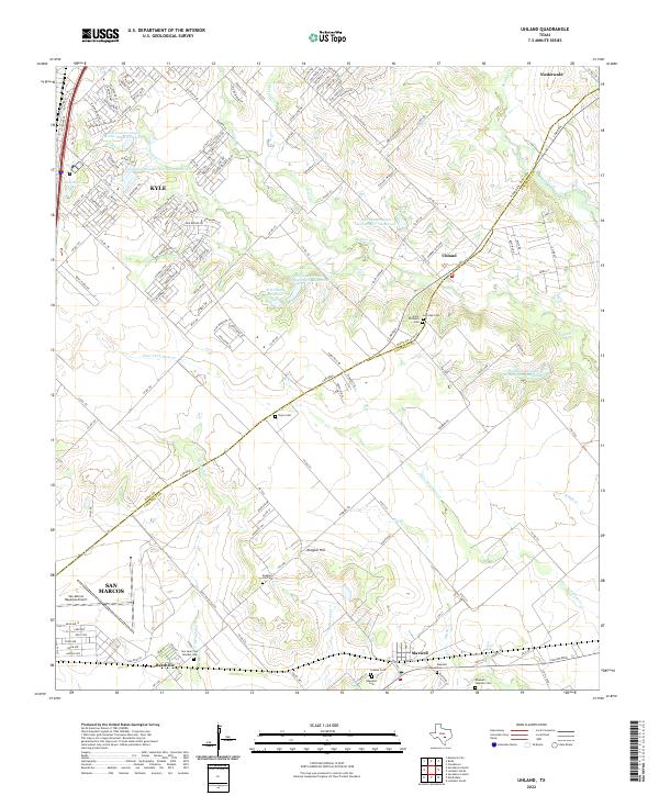
The Hays and Caldwell county line bisects this landscape of low hills and creek bottoms, anchored by the growing settlements of Kyle and Uhland. This modern survey reveals a countryside transitioning from traditional ranching and agriculture to suburban expansion, yet it maintains deep ties to its past through numerous family and community burial grounds like the Koeglar Hill Cem and Doyle Cem. Water management is a defining characteristic of the terrain, with several Soil Conservation Service Site 3 Reservoir catchments and the M D Heatly Reservoir dotting the drainages of Plum Cr and Bunton Br. To the south, the village of Maxwell sits near the rail line, while the San Marcos Regional Airport marks the southwestern periphery. The network of farm roads and county lanes follows the old contours of the land, connecting landmarks such as Koeglar Hill to the historical corridor of the Cam Real.
Find a feature on this map
163 named features on this map. Tap any name to fly to it.
Don’t see what you’re looking for? This feature index may not catch every label — zoom into the map to look around manually.
Map Details
Editions of this 2022 Uhland Map
This is the sole edition of this map. No revisions or reprints were ever made.