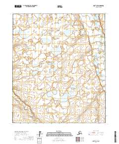
2017 Map of Umiat B-2 SE
USGS Topo · Published 2017About this map
The Itkillik River winds through the eastern edge of this section of the Arctic coastal plain, defining a landscape dominated by a intricate network of thaw lakes and drainage basins. This 2017 survey by the U.S. Geological Survey captures a region of the North Slope defined by its hydrological complexity and lack of permanent human infrastructure. The presence of the river serves as the primary geographical anchor for the surrounding wilderness areas delineated by the Public Land Survey System boundaries of T1s R5e, T1s R6e, T2s R5e, and T2s R6e. The terrain represents a classic example of permafrost-affected topography, where the subtle elevation changes shown by the National Elevation Dataset dictate the placement of numerous unnamed lakes and seasonal wetlands that characterize the North Slope Borough.
Find a feature on this map
5 named features on this map. Tap any name to fly to it.
Don’t see what you’re looking for? This feature index may not catch every label — zoom into the map to look around manually.
Map Details
Editions of this 2017 Umiat B-2 SE Map
This is the sole edition of this map. No revisions or reprints were ever made.
Other maps of this area

1952 · Umiat
USGS Topo · 1:250,000

1956 · Umiat
USGS Topo · 1:250,000

1964 · Umiat
USGS Topo · 1:250,000

1971 · Umiat A-2
USGS Topo · 1:63,360
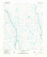
1971 · Umiat B-2
USGS Topo · 1:63,360
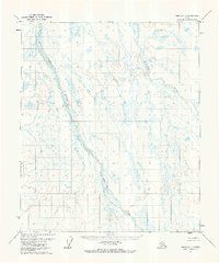
1971 · Umiat A-1
USGS Topo · 1:63,360
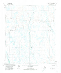
1971 · Umiat B-1
USGS Topo · 1:63,360
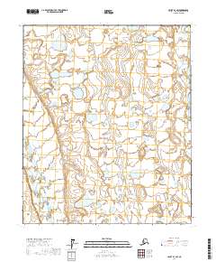
2017 · Umiat B-1 SW
USGS Topo · 1:25,000
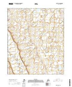
2017 · Umiat A-2 NE
USGS Topo · 1:25,000
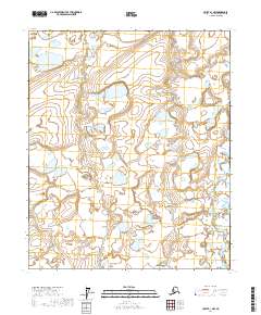
2017 · Umiat B-1 NW
USGS Topo · 1:25,000