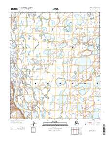
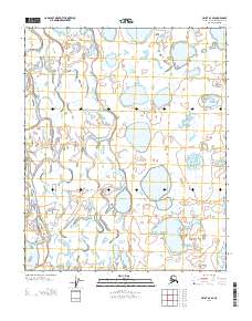
2013 Map of Umiat C-3 NE
USGS Topo · Published 2013About this map
The Colville River meanders across this Arctic landscape, creating a complex network of oxbow lakes, ponds, and wetlands within the North Slope Borough. This 2013 survey illustrates the dramatic fluvial geomorphology of the region, where the river's shifting course has left behind numerous unnamed water bodies and saturated tundra. The presence of section lines from the Public Land Survey System, including Township 4 North and Township 3 North, provides a precise grid for localizing specific geographic points within this vast, roadless expanse. The intricate patterns of the hydrography reflect a landscape dominated by permafrost and seasonal water movement, offering researchers a detailed record of the river's path before further natural shifts occur.
Find a feature on this map
4 named features on this map. Tap any name to fly to it.
Don’t see what you’re looking for? This feature index may not catch every label — zoom into the map to look around manually.
Map Details
Editions of this 2013 Umiat C-3 NE Map
This is the sole edition of this map. No revisions or reprints were ever made.
Other maps of this area

1952 · Umiat
USGS Topo · 1:250,000

1955 · Umiat D-2
USGS Topo · 1:63,360

1955 · Umiat D-3
USGS Topo · 1:63,360

1955 · Umiat C-3
USGS Topo · 1:63,360

1956 · Umiat
USGS Topo · 1:250,000

1964 · Umiat
USGS Topo · 1:250,000
1971 · Umiat C-2
USGS Topo · 1:63,360
2013 · Umiat D-2 SW
USGS Topo · 1:25,000
2013 · Umiat D-3 SW
USGS Topo · 1:25,000
2013 · Umiat D-3 SE
USGS Topo · 1:25,000