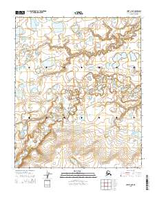
2015 Map of Umiat C-5 NE
USGS Topo · Published 2015About this map
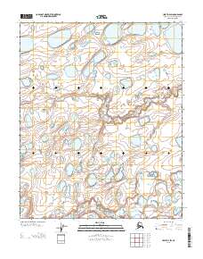
The Kikiakrorak River meanders across this Arctic landscape, its winding course defining the drainage patterns of Alaska’s North Slope. This 2015 survey reveals a remote terrain primarily characterized by vast networks of thaw lakes and wetlands, typical of the permafrost-underlain tundra. The absence of roads or permanent settlements emphasizes the region's wilderness character and its use as a corridor for wildlife and subsistence activities. Surveyed using SPOT imagery and GNIS data, the map documents the Public Land Survey System boundaries including t5n r3w and t4n r2w. This record captures the precise state of the hydrography before potential shifts in the permafrost alter the river's path or the size of the countless unnamed lakes that dot the interior.
Find a feature on this map
7 named features on this map. Tap any name to fly to it.
Don’t see what you’re looking for? This feature index may not catch every label — zoom into the map to look around manually.
Map Details
Editions of this 2015 Umiat C-5 NE Map
This is the sole edition of this map. No revisions or reprints were ever made.
Other maps of this area

1952 · Umiat
USGS Topo · 1:250,000

1955 · Umiat C-4
USGS Topo · 1:63,360
1955 · Umiat D-5
USGS Topo · 1:63,360
1955 · Umiat D-4
USGS Topo · 1:63,360

1955 · Umiat C-5
USGS Topo · 1:63,360

1956 · Umiat
USGS Topo · 1:250,000

1964 · Umiat
USGS Topo · 1:250,000
2013 · Umiat C-4 NW
USGS Topo · 1:25,000
2013 · Umiat D-4 SW
USGS Topo · 1:25,000
2013 · Umiat C-4 SW
USGS Topo · 1:25,000