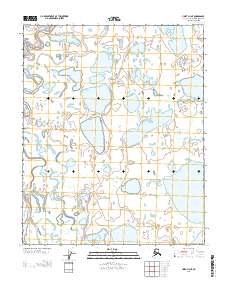
2013 Map of Umiat D-3 NE
USGS Topo · Published 2013About this map
The North Slope landscape in this 2013 survey is dominated by a complex network of thaw lakes and interconnected water bodies, typical of the Arctic coastal plain. The terrain is divided by the T 8 N T 7 N and T 7 N T 6 N township lines, which provide the primary spatial framework for this remote region. This map offers a high-resolution view of the intricate hydrography where land and water blur, reflecting the seasonal shifts and geomorphology of northern Alaska.
Find a feature on this map
39 named features on this map. Tap any name to fly to it.
Don’t see what you’re looking for? This feature index may not catch every label — zoom into the map to look around manually.
Map Details
Editions of this 2013 Umiat D-3 NE Map
This is the sole edition of this map. No revisions or reprints were ever made.
Other maps of this area

1951 · Harrison Bay
USGS Topo · 1:250,000

1952 · Umiat
USGS Topo · 1:250,000

1955 · Harrison Bay
USGS Topo · 1:250,000

1955 · Umiat D-2
USGS Topo · 1:63,360

1955 · Harrison Bay A-2
USGS Topo · 1:63,360

1955 · Harrison Bay A-3
USGS Topo · 1:63,360

1955 · Umiat D-3
USGS Topo · 1:63,360

1956 · Umiat
USGS Topo · 1:250,000

1964 · Umiat
USGS Topo · 1:250,000
2013 · Umiat D-2 SW
USGS Topo · 1:25,000