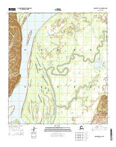
2015 Map of Unalakleet D-1 SE
USGS Topo · Published 2015About this map
The Yukon River dominates this portion of the interior, characterized by a complex network of shifting waterways and riverine islands. This 2015 survey details the intricate hydrology of the western bank, where Steamboat Slough and Honeymoon Slough carve through the alluvial landscape. These features, along with the distinctively named Bullfrog Island, illustrate the dynamic nature of the river's path through the t19s r3w and t20s r3w townships.
Find a feature on this map
9 named features on this map. Tap any name to fly to it.
Don’t see what you’re looking for? This feature index may not catch every label — zoom into the map to look around manually.
Map Details
Editions of this 2015 Unalakleet D-1 SE Map
This is the sole edition of this map. No revisions or reprints were ever made.
Other maps of this area

1951 · Ophir
USGS Topo · 1:250,000

1951 · Unalakleet
USGS Topo · 1:250,000

1952 · Unalakleet C-1
USGS Topo · 1:63,360

1952 · Unalakleet D-1
USGS Topo · 1:63,360

1952 · Unalakleet
USGS Topo · 1:250,000
1954 · Ophir D-6
USGS Topo · 1:63,360

1954 · Ophir C-6
USGS Topo · 1:63,360

1954 · Ophir
USGS Topo · 1:250,000

1964 · Unalakleet
USGS Topo · 1:250,000
2015 · Unalakleet C-1 NE
USGS Topo · 1:25,000