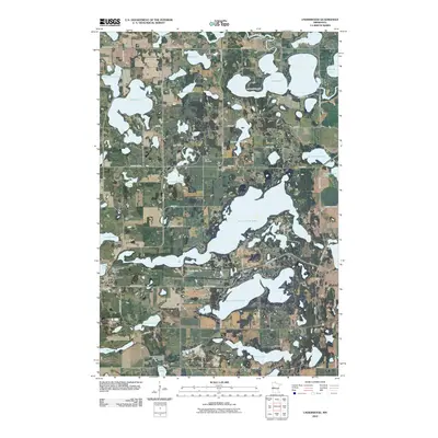
2022 Map of Underwood
USGS Topo · Published 2022About this map
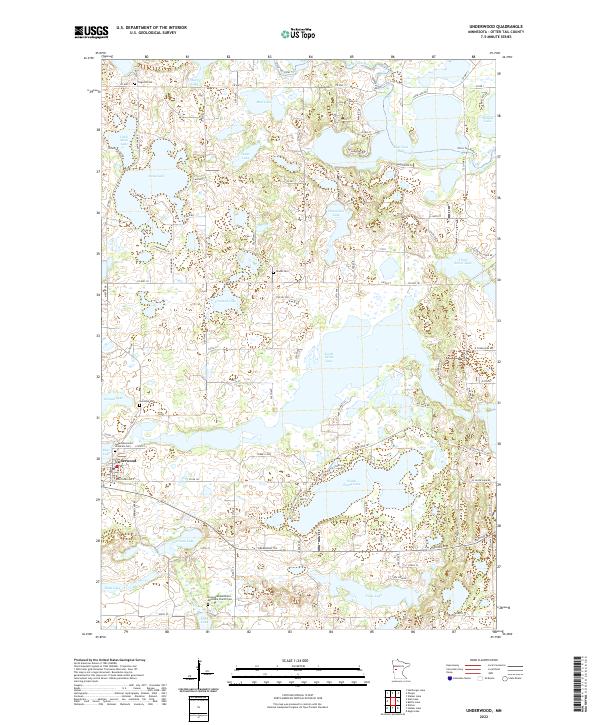
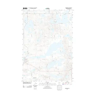
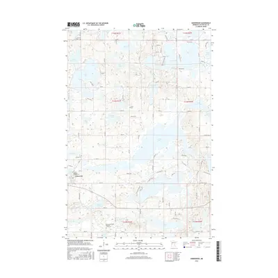
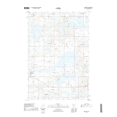
Underwood serves as the primary hub in this portion of Otter Tail County, situated amidst a dense network of glacial lakes and wetlands. The landscape is defined by its diverse water bodies, ranging from the sprawling North Turtle Lake and South Turtle Lake to the meandering course of the Otter Tail River in the north. This 2022 survey provides an exceptionally clear record of the area's rural cemetery heritage, which is essential for genealogical research in this region. Numerous burial sites are documented throughout the townships, including the Norwegian Methodist Episcopal Church Cem, Sverdrup Cem, and Tingvold Cem. The terrain is interlaced with county highways and local roads like Turtle Shore Ln and Rolling Hills Dr, showing how modern residential development has integrated with the natural shoreline patterns of lakes like Anna Lake and East Lost Lake.
Find a feature on this map
79 named features on this map. Tap any name to fly to it.
Don’t see what you’re looking for? This feature index may not catch every label — zoom into the map to look around manually.
Map Details
Editions of this 2022 Underwood Map
This is the sole edition of this map. No revisions or reprints were ever made.
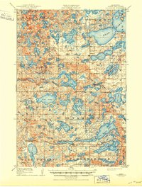
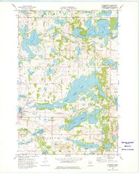
Historical Maps of Underwood Through Time
7 maps found
Featured Locations
- Clitherall Township, MN
- Everts Township, MN
- Sverdrup Township, MN
- Tordenskjold Township, MN
- Underwood, MN