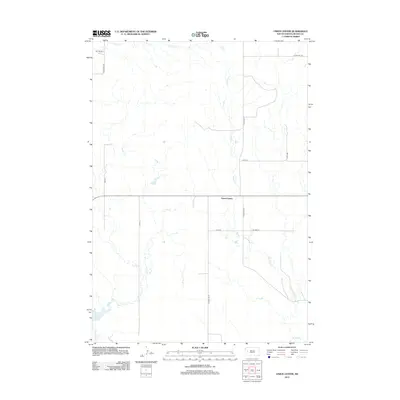
2012 Map of Union Center
USGS Topo · Published 2012About this map
Union Center serves as a small hub for this pastoral landscape in Meade County, where the sprawling West River topography is defined by its seasonal drainage systems. The prairie is etched by the meandering paths of W Bull Cr, Hay Cr, and E Elm Cr, creating a complex network of dry runs and creek beds typical of South Dakota's semi-arid plains. The map reveals a land organized by the section lines of the public land survey system, with long, straight roads like 167th Pl and 171st Ave providing access to isolated homesteads and ranching operations such as the M P Ranch. This 2012 survey illustrates the enduring nature of the rural township structure, where transportation remains centered on a handful of county highways like Co Hwy Mc-27 that connect these remote ranching communities.
Find a feature on this map
13 named features on this map. Tap any name to fly to it.
Don’t see what you’re looking for? This feature index may not catch every label — zoom into the map to look around manually.
Map Details
Editions of this 2012 Union Center Map
This is the sole edition of this map. No revisions or reprints were ever made.
Other maps of this area

1953 · Hereford NE
USGS Topo · 1:24,000

1953 · Rapid City
USGS Topo · 1:250,000

1954 · Haydraw
USGS Topo · 1:24,000

1954 · Boneita Springs
USGS Topo · 1:24,000

1957 · Rapid City
USGS Topo · 1:250,000

1959 · Fairpoint
USGS Topo · 1:24,000

1959 · Enning
USGS Topo · 1:24,000

1959 · Redowl
USGS Topo · 1:24,000

1959 · Stoneville
USGS Topo · 1:24,000

1959 · Union Center
USGS Topo · 1:24,000