
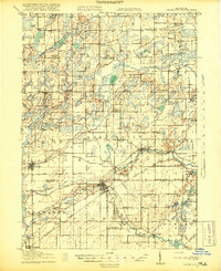
1918 Map of Union City
USGS Topo · Published 1918About this map
The St. Joseph River carves through the landscape of southern Michigan, anchoring the growth of Union City at the confluence with the Hog River. This 1917 survey reveals a rural economy transitioning from early mills to railroad-centric commerce, with the Michigan Central line facilitating movement through Burlington Sta and Sherwood. The terrain is defined by glacial features like Stony Hill and a dense network of country schools, including the Cobblestone School and Brick School, which served dispersed farming families.
Find a feature on this map
102 named features on this map. Tap any name to fly to it.
Don’t see what you’re looking for? This feature index may not catch every label — zoom into the map to look around manually.
Map Details
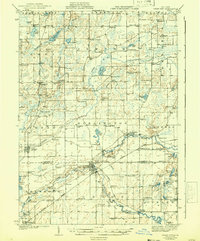
Editions of this 1918 Union City Map
3 editions found
Other maps of this area

1918 · Battle Creek
USGS Topo · 1:62,500

1918 · Galesburg
USGS Topo · 1:62,500

1918 · Leonidas
USGS Topo · 1:62,500

1921 · Marshall
USGS Topo · 1:62,500

1923 · Marshall
USGS Topo · 1:62,500

1943 · Battle Creek
USGS Topo · 1:62,500

1943 · Marshall
USGS Topo · 1:62,500

1944 · Leonidas
USGS Topo · 1:62,500

1944 · Galesburg
USGS Topo · 1:62,500

1947 · Augusta
USGS Topo · 1:24,000