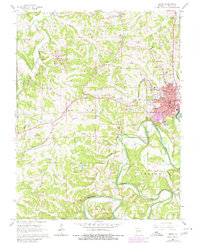
1966 Map of Union
USGS Topo · Published 1980About this map
The Union city center and its surrounding Franklin County landscape are anchored by the winding path of the Bourbeuse River and the commercial corridor of the Chicago and Rock Island Pacific railroad. Mapping from the mid-1960s, with later updates to the urban boundary, shows the community's growth around the central Courthouse and local schools like Fairview School. The rural sections are dotted with family-named landmarks and essential local institutions, including St Johns Church and the Meyer, Peters, and Fees cemeteries, providing a clear record of established family plots and parish life.
Find a feature on this map
45 named features on this map. Tap any name to fly to it.
Don’t see what you’re looking for? This feature index may not catch every label — zoom into the map to look around manually.
Map Details
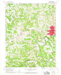
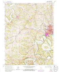
Editions of this 1966 Union Map
3 editions found
Other maps of this area

1890 · Hermann
USGS Topo · 1:125,000

1901 · De Soto
USGS Topo · 1:125,000

1903 · O'Fallon
USGS Topo · 1:125,000

1903 · Sullivan
USGS Topo · 1:125,000

1946 · Union
USGS Topo · 1:62,500

1947 · St. Clair
USGS Topo · 1:62,500

1948 · Union
USGS Topo · 1:62,500

1948 · Washington
USGS Topo · 1:62,500

1948 · Augusta
USGS Topo · 1:62,500

1949 · Saint Louis
USGS Topo · 1:250,000