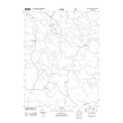
2011 Map of Union Furnace
USGS Topo · Published 2011About this map
Haydenville and Union Furnace anchor this section of the Hocking Valley, where the Hocking River carves a path through the southeastern Ohio landscape. The map reveals a pattern of ridge-top and valley floor settlements connected by a dense network of local roads like Patton Rd and Karnes Rd. For genealogists, the map is particularly rich in family and community burial sites, including the Morris Chapel Cemetery, Wolf Cemetery, and the Morse-Lewis Cemetery near Coonville.
Find a feature on this map
74 named features on this map. Tap any name to fly to it.
Don’t see what you’re looking for? This feature index may not catch every label — zoom into the map to look around manually.
Map Details
Editions of this 2011 Union Furnace Map
This is the sole edition of this map. No revisions or reprints were ever made.
Other maps of this area

1903 · Athens
USGS Topo · 1:62,500

1904 · Zaleski
USGS Topo · 1:62,500

1905 · Athens
USGS Topo · 1:62,500

1907 · Zaleski
USGS Topo · 1:62,500

1907 · Logan
USGS Topo · 1:62,500

1909 · Logan
USGS Topo · 1:62,500

1911 · New Lexington
USGS Topo · 1:62,500

1947 · Columbus
USGS Topo · 1:250,000

1961 · Columbus
USGS Topo · 1:250,000

1961 · Nelsonville
USGS Topo · 1:24,000