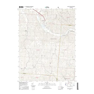
2016 Map of Union Furnace
USGS Topo · Published 2016About this map
The Hocking River carves a deep valley through this portion of the Wayne National Forest, defining the settlement patterns of southeastern Ohio. Industrial and rural history converge here, where the community of Union Furnace sits along the western edge and Haydenville occupies the river terrace to the north. The landscape is heavily marked by a network of off-road vehicle paths, including the Dorr Run OHV - Bowl Trail and Dorr Run OHV - Purdum Loop, which navigate the steep ridges and hollows characteristic of the region.
Find a feature on this map
43 named features on this map. Tap any name to fly to it.
Don’t see what you’re looking for? This feature index may not catch every label — zoom into the map to look around manually.
Map Details
Editions of this 2016 Union Furnace Map
This is the sole edition of this map. No revisions or reprints were ever made.
Other maps of this area

1903 · Athens
USGS Topo · 1:62,500

1904 · Zaleski
USGS Topo · 1:62,500

1905 · Athens
USGS Topo · 1:62,500

1907 · Zaleski
USGS Topo · 1:62,500

1907 · Logan
USGS Topo · 1:62,500

1909 · Logan
USGS Topo · 1:62,500

1911 · New Lexington
USGS Topo · 1:62,500

1947 · Columbus
USGS Topo · 1:250,000

1961 · Columbus
USGS Topo · 1:250,000

1961 · Nelsonville
USGS Topo · 1:24,000