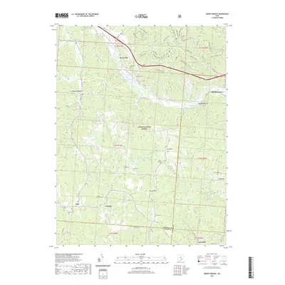
2019 Map of Union Furnace
USGS Topo · Published 2019About this map
The Hocking River valley anchors this study of the Appalachian plateau, where the industrial legacy of southeastern Ohio is visible through settlements like Union Furnace and Haydenville. Much of the central and eastern terrain is preserved within the Wayne National Forest, revealing a complex network of forest roads and hiking trails such as the Mine Shaft Trail and Dorr Run Loop. This modern survey documents the persistent rural character of the area, where small communities like Carbondale and Starr sit alongside high ridges and deep hollows. Family history is well-represented through numerous burial grounds, including the Haydenville Cem, Croy Cem, and the remote Morris Chapel Cem. The drainage patterns of the E Br Raccoon Cr and Hewett Fork define the southern half of the quadrangle, illustrating the rugged hydrology that shaped early settlement patterns in Hocking, Vinton, and Athens counties.
Find a feature on this map
63 named features on this map. Tap any name to fly to it.
Don’t see what you’re looking for? This feature index may not catch every label — zoom into the map to look around manually.
Map Details
Editions of this 2019 Union Furnace Map
This is the sole edition of this map. No revisions or reprints were ever made.
Other maps of this area

1903 · Athens
USGS Topo · 1:62,500

1904 · Zaleski
USGS Topo · 1:62,500

1905 · Athens
USGS Topo · 1:62,500

1907 · Zaleski
USGS Topo · 1:62,500

1907 · Logan
USGS Topo · 1:62,500

1909 · Logan
USGS Topo · 1:62,500

1911 · New Lexington
USGS Topo · 1:62,500

1947 · Columbus
USGS Topo · 1:250,000

1961 · Columbus
USGS Topo · 1:250,000

1961 · Nelsonville
USGS Topo · 1:24,000