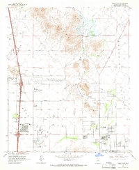
1964 Map of Union Hills
USGS Topo · Published 1966About this map
Deer Valley and the surrounding Union Hills are captured here during a period of significant mid-century transition. The landscape is defined by the drainage of Skunk Creek, Apache Wash, and Cave Creek, which cut through the desert terrain between peaks like Adobe Mountain and Buffalo Ridge. Industrial and recreational interests are well-established, evidenced by the Deer Valley Airport and the large Turf Paradise complex.
Find a feature on this map
41 named features on this map. Tap any name to fly to it.
Don’t see what you’re looking for? This feature index may not catch every label — zoom into the map to look around manually.
Map Details
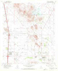
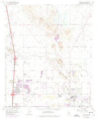
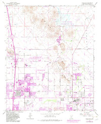
Editions of this 1964 Union Hills Map
4 editions found
Other maps of this area

1904 · Camelback
USGS Topo · 1:62,500

1906 · Camelsback
USGS Topo · 1:62,500

1930 · Cave Creek
USGS Topo · 1:125,000

1939 · Cave Creek
USGS Topo · 1:125,000

1954 · Phoenix
USGS Topo · 1:250,000

1954 · Mesa
USGS Topo · 1:250,000

1957 · Mesa
USGS Topo · 1:250,000

1957 · Phoenix
USGS Topo · 1:250,000

1957 · Hedgpeth Hills
USGS Topo · 1:24,000

1957 · Glendale
USGS Topo · 1:24,000