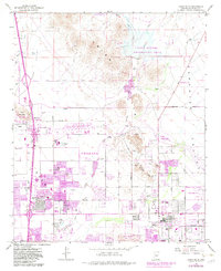
1964 Map of Union Hills
USGS Topo · Published 1983About this map
Deer Valley and Paradise Valley undergo a dramatic transformation from desert terrain to a residential landscape in this mid-century period. While the Phoenix Corp Boundary expands, the map preserves the location of early industrial and ranching landmarks like the Union Mine, Turkey Track Mine, and the Quarry near Buffalo Ridge. The northern reaches remain defined by open washes and livestock resources such as T Bone Tank and Rock Tank, while the southern half shows the rapid infill of neighborhoods around the Village Meadows Sch and Sunnyside Sch. Significant public infrastructure is documented through the footprint of the Phoenix-Deer Valley Municipal Airport and the large recreation tracts at Cave Buttes Recreation Area and Adobe Dam Recreation Area. Leisure and utility are side-by-side, seen in the proximity of Turf Paradise to the local Substation and Fire Station.
Find a feature on this map
44 named features on this map. Tap any name to fly to it.
Don’t see what you’re looking for? This feature index may not catch every label — zoom into the map to look around manually.
Map Details
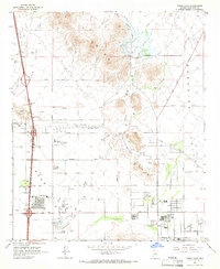
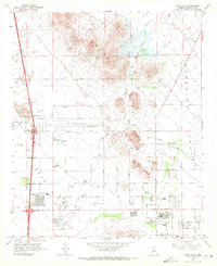
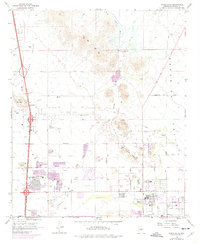
Editions of this 1964 Union Hills Map
4 editions found
Other maps of this area

1904 · Camelback
USGS Topo · 1:62,500

1906 · Camelsback
USGS Topo · 1:62,500

1930 · Cave Creek
USGS Topo · 1:125,000

1939 · Cave Creek
USGS Topo · 1:125,000

1954 · Phoenix
USGS Topo · 1:250,000

1954 · Mesa
USGS Topo · 1:250,000

1957 · Mesa
USGS Topo · 1:250,000

1957 · Phoenix
USGS Topo · 1:250,000

1957 · Hedgpeth Hills
USGS Topo · 1:24,000

1957 · Glendale
USGS Topo · 1:24,000