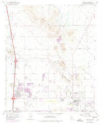
1964 Map of Union Hills
USGS Topo · Published 1975About this map
Turf Paradise and the developing Deer Valley region highlight the northern expansion of the Phoenix metropolitan area in the mid-1960s. This survey records a landscape in transition, where established rural infrastructure like the Turkey Track Mine and Upton Mine sit adjacent to new residential subdivisions and institutional growth. The map documents the early footprint of the Deer Valley Airport and several local educational centers, including Village Meadows Sch and Paradise Valley Sch.
Find a feature on this map
49 named features on this map. Tap any name to fly to it.
Don’t see what you’re looking for? This feature index may not catch every label — zoom into the map to look around manually.
Map Details
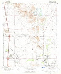
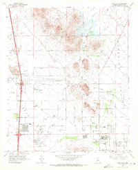
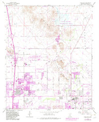
Editions of this 1964 Union Hills Map
4 editions found
Other maps of this area

1904 · Camelback
USGS Topo · 1:62,500

1906 · Camelsback
USGS Topo · 1:62,500

1930 · Cave Creek
USGS Topo · 1:125,000

1939 · Cave Creek
USGS Topo · 1:125,000

1954 · Phoenix
USGS Topo · 1:250,000

1954 · Mesa
USGS Topo · 1:250,000

1957 · Mesa
USGS Topo · 1:250,000

1957 · Phoenix
USGS Topo · 1:250,000

1957 · Hedgpeth Hills
USGS Topo · 1:24,000

1957 · Glendale
USGS Topo · 1:24,000