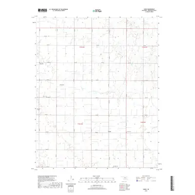
2018 Map of Union
USGS Topo · Published 2018About this map
The Union area of Kingfisher County is defined by its precise section-line grid, a legacy of the Public Land Survey System that organizes the agrarian landscape into neat mile-square blocks. Small rural airstrips like PTNO Airport and Haymaker Airport punctuate the patchwork of fields, while the drainage of Spring Cr and Cottonwood Cr provides the only departure from the straight lines of the county roads. For those researching local family history, several dedicated burial grounds are distributed across the township, including Saint Joseph's Catholic Cem in the northwest and Wanamaker Cem to the south. The settlement of Union itself remains a quiet crossroads, serving as a central point for the surrounding farmsteads linked by a network of numbered routes such as Banner Rd and N2920 Rd.
Find a feature on this map
31 named features on this map. Tap any name to fly to it.
Don’t see what you’re looking for? This feature index may not catch every label — zoom into the map to look around manually.
Map Details
Editions of this 2018 Union Map
This is the sole edition of this map. No revisions or reprints were ever made.
Other maps of this area

1892 · Kingfisher
USGS Topo · 1:125,000

1893 · Lovell
USGS Topo · 1:62,500

1893 · Hennessey
USGS Topo · 1:62,500

1895 · Kingfisher
USGS Topo · 1:125,000

1954 · Oklahoma City
USGS Topo · 1:250,000

1955 · Enid
USGS Topo · 1:250,000

1956 · Hennessey
USGS Topo · 1:62,500

1957 · Oklahoma City
USGS Topo · 1:250,000

1958 · Enid
USGS Topo · 1:250,000

1963 · Oklahoma City
USGS Topo · 1:250,000