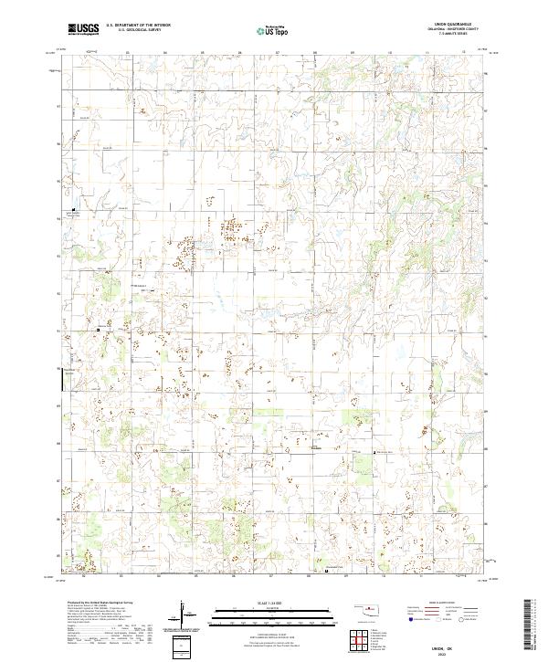
2022 Map of Union
USGS Topo · Published 2022About this map
The small community of Union serves as the focal point of this agricultural landscape in eastern Kingfisher County. The terrain is defined by a grid of section roads and the meandering paths of Spring Cr and Camp Cr, which drain toward the southeast. The area is marked by its legacy of local heritage and family history, evidenced by several distinct burial grounds including Saint Joseph's Catholic Cem in the northwest and Wanamaker Cem to the south. Small-scale aviation has also found a home here, with both PTNO Airport and Haymaker Airport established among the farms. The map details the transition between townships T19N and T18N, showing a landscape where traditional rural life and modern infrastructure coexist along the banks of Cottonwood Cr.
Find a feature on this map
31 named features on this map. Tap any name to fly to it.
Don’t see what you’re looking for? This feature index may not catch every label — zoom into the map to look around manually.
Map Details
Editions of this 2022 Union Map
This is the sole edition of this map. No revisions or reprints were ever made.
Other maps of this area

1892 · Kingfisher
USGS Topo · 1:125,000

1893 · Lovell
USGS Topo · 1:62,500

1893 · Hennessey
USGS Topo · 1:62,500

1895 · Kingfisher
USGS Topo · 1:125,000

1954 · Oklahoma City
USGS Topo · 1:250,000

1955 · Enid
USGS Topo · 1:250,000

1956 · Hennessey
USGS Topo · 1:62,500

1957 · Oklahoma City
USGS Topo · 1:250,000

1958 · Enid
USGS Topo · 1:250,000

1963 · Oklahoma City
USGS Topo · 1:250,000