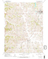
1964 Map of Unionville West
USGS Topo · Published 1965About this map
Unionville serves as the primary hub in this mid-1960s study of Putnam County, Missouri, where the Chicago Burlington and Quincy railroad line cuts a diagonal path through the township of Wilson toward the village of Lemons. The landscape is a network of rural life, characterized by family-named cemeteries such as Crumpacker Cem and Dixon Cem, along with neighborhood schools like Triumph Sch and Good Hope Sch.
Find a feature on this map
31 named features on this map. Tap any name to fly to it.
Don’t see what you’re looking for? This feature index may not catch every label — zoom into the map to look around manually.
Map Details
Editions of this 1964 Unionville West Map
2 editions found

Other maps of this area

1912 · Green City
USGS Topo · 1:62,500

1914 · Green City
USGS Topo · 1:62,500

1939 · Centerville
USGS Topo · 1:62,500

1941 · Centerville
USGS Topo · 1:62,500

1942 · Seymour
USGS Topo · 1:62,500

1944 · Seymour
USGS Topo · 1:62,500

1954 · Centerville
USGS Topo · 1:250,000

1957 · Centerville
USGS Topo · 1:250,000

1958 · Centerville
USGS Topo · 1:250,000

1964 · Pollock NW
USGS Topo · 1:24,000