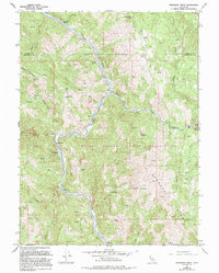
1967 Map of Updegraff Ridge
USGS Topo · Published 1994About this map
The Eel River and its North Fork Eel River confluence define this remote stretch of Northern California along the Trinity and Mendocino County border. The river canyon serves as the primary corridor for the Northwestern Pacific railroad, which snakes along the water's edge past isolated benchmarks and settlements like Ramsey and Spyrock. Much of the southern landscape is occupied by the Round Valley Indian Reservation, characterized by high ridges such as Updegraff Ridge and significant landmarks like Coyote Rock. Historical land use is visible through several ranching operations, including Island Mountain Ranch and Big Bend Ranch, while a network of 4WD tracks provides the only access into the steep, spring-fed drainages like Bell Springs Creek and Willow Creek.
Find a feature on this map
69 named features on this map. Tap any name to fly to it.
Don’t see what you’re looking for? This feature index may not catch every label — zoom into the map to look around manually.
Map Details
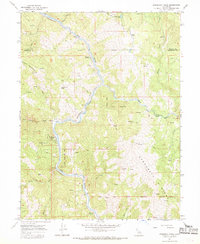
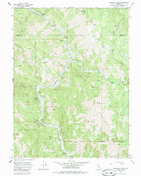
Editions of this 1967 Updegraff Ridge Map
3 editions found
Other maps of this area

1920 · Cummings
USGS Topo · 1:62,500

1920 · Covelo
USGS Topo · 1:62,500

1920 · Harris
USGS Topo · 1:62,500

1921 · Hoaglin
USGS Topo · 1:62,500

1922 · Island Mountain
USGS Topo · 1:62,500

1931 · Hoaglin
USGS Topo · 1:96,000

1935 · Hoaglin
USGS Topo · 1:125,000

1949 · Alderpoint
USGS Topo · 1:62,500

1951 · Alderpoint
USGS Topo · 1:62,500

1952 · Spyrock
USGS Topo · 1:62,500